


Geometricus at the Symposium of Licensed Surveying Engineers in Bol
Geometricus d.o.o. is proud to take part in this year’s Symposium of Licensed Surveying Engineers, held in Bol, Brač, under the auspices of the Croatian

Geometricus Participates at Intergeo 2025 in Frankfurt
Showcasing Innovations and Strengthening International Networks Dear partners, collaborators and friends, We are proud to announce that Geometricus.hr is actively participating in Intergeo 2025
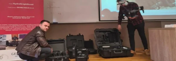
Final Phase of the “HydroGraphBoost” Project
Water Pressure and Floods Around Gunja – Lessons for Water Management Events such as the flooding around Gunja, caused by dike breaches after heavy rainfall

Geometricus reaches new heights with RIEGL ULS systems
Geometricus d.o.o., a Croatian surveying company, began working with RIEGL® UAV LiDAR sensors in November 2022. Just one year later, following the success with miniVUX-SYS,

Climate-Neutral Smart Cities Project
We are pleased to announce the launch of the project “Bilateral Cooperation for Climate-Neutral and Smart Cities”, a joint initiative by Geometricus d.o.o. from Croatia

Trip to Norway Strengthened Collaboration
As part of the “Bilateral Cooperation for Climate-Neutral and Smart Cities” project, Geometricus d.o.o. and Smart Innovation Norway AS successfully conducted a study visit to


